Full-constellation tracking
The N5 tracks 1198 channels for all running satellites constellations, which includes GPS, GLONASS, Beidou, Beidou global, Galileo, QZSS, IRNSS, SBAS and L-Band.
IMU
In-built IMU and adopted self-developed core algorithm, with the accuracy less than 2.5cm, ensure the accuracy anywhere and anytime, without being affected by geomagnetic.
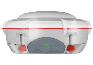
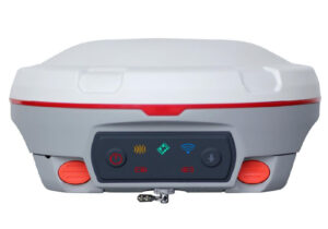
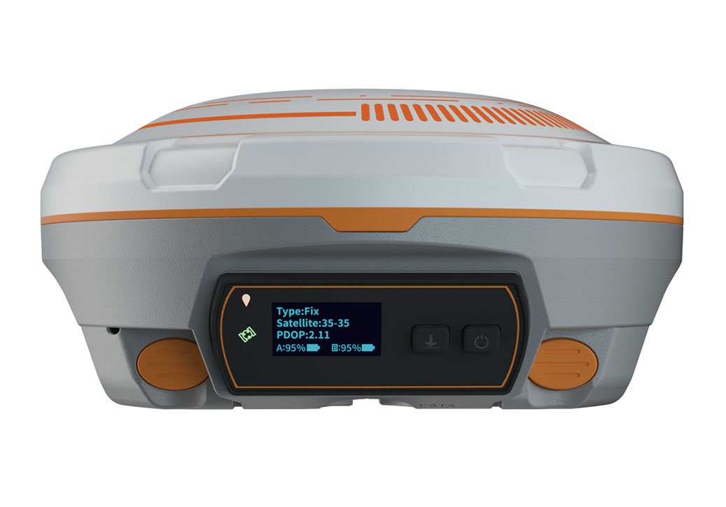
Enhanced OLED Display
The sunlight readable OLED display provides a clear, easy-to read viewing experience, and handles all of surveying operations on screen freely.
- Full-constellation & full frequency tracking
- User-friendly OLED Display
- 6800mAh Large Li-battery for over 24 hrs working time
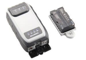
- Enhanced UHF for up to 15km working range
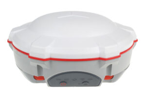
- Rugged housing
- Web-based UI
- Up to 60° tilt surveying
- Seamlessly Work with Network RTK Positioning
| Channels: | 1198 |
| Satellite tracking: |
|
| Static and Fast Static: |
|
| Long Observations Static: |
|
| RTK: |
|
| Size (W × H): | Φ 15.5 cm × 7.3 cm |
| Weight | 1.2 kg with two batteries |
| Power consumption | 1.7 W |
| Input voltage: | 7-28 VDC |
| Battery: | 2 × 3400 mAh, up to 25 hours typically |
| Memory: | 8 GB |
| Operating temperature: | -40 °C to + 65 °C (-40 °F to 149 °F) |
| Humidity: | 100% no condensation |
| Waterproof and dustproof: | IP67 |
| Shock: | Designed to survive a 2 m drop onto concrete |
| 1 Serial port (7 pin Lemo): | – Baud rates up to 921,600 bps |
| UHF modem: |
|
| WIFI/4G modem: |
|
| 2 LEDs: | indicating Satellites Tracking and RTK Corrections data |
| 1 Display: | OLED Display |
| Bluetooth: | V4.0, compatible with Windows OS and Android OS |
| Calibration-free IMU integrated for Tilt Survey: | Up to 60°tilt with 2.5 cm accuracy |